Services

MISSION CONTROL CENTER

icon

NASA DSN &
ESA ESTRACK

icon

MISSION
PLANNING

icon

MULTIPLE
MISSIONS

icon

FROM LEO TO
DEEP SPACE

Argotec engineers sitting at workstations with wall-mounted screens showing satellite imagery and data
Argotec engineers working at their workstations
Argotec engineer girl working at her workstation
Argotec engineers working at their workstations
Close-up view of an Argotec engineer working at workstation
software-tool-development

Dedicated
software tool
development

plug-and-play-architecture

plug and play
architecture

scientific-data-handling

Scientific Data handling

network-and-estrak

interfaced with deep space network and estrack

automatic-scheduling-capability

Automatic
scheduling
capability

GNC

attitude
determination
and control - GNC

event-detection

Event
detection

flight-path-control

Flight Path
control

mission-analisys

Mission
Analysis

Argotec’s Mission Control 
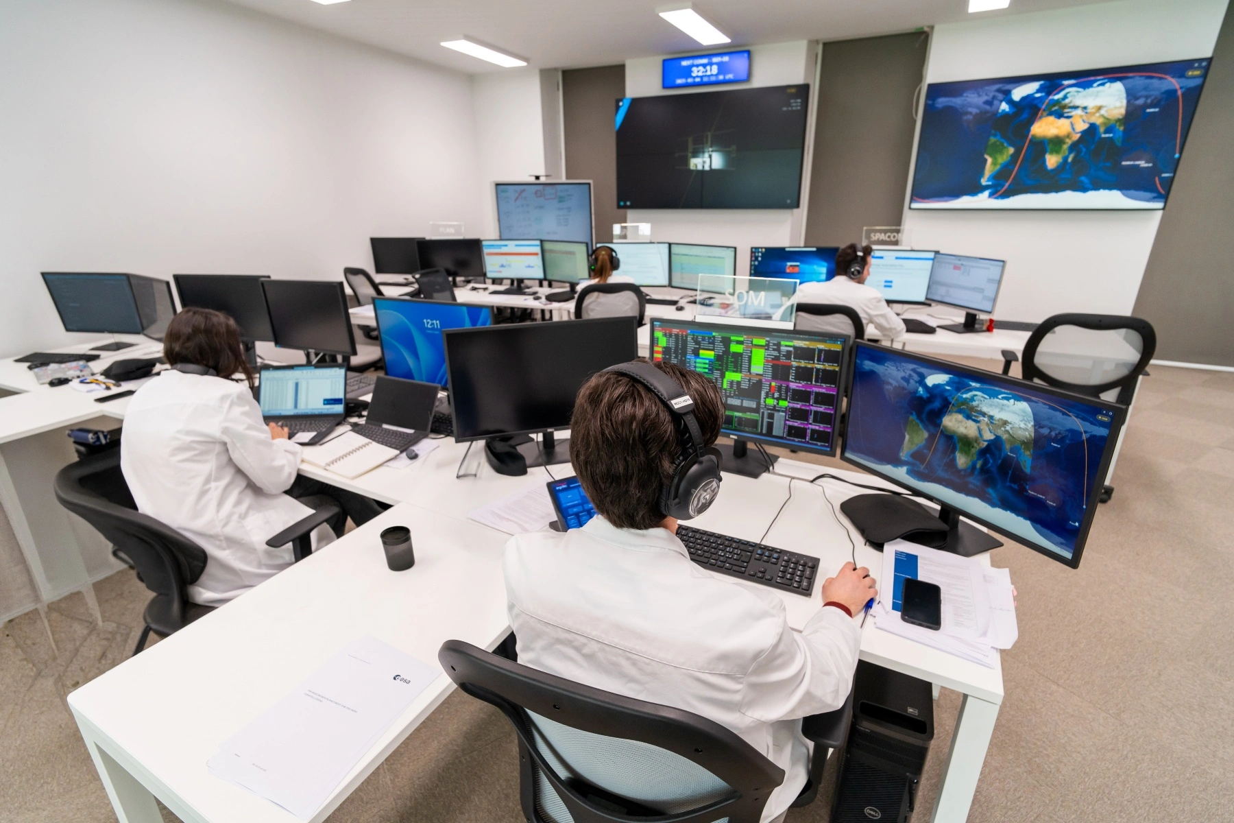
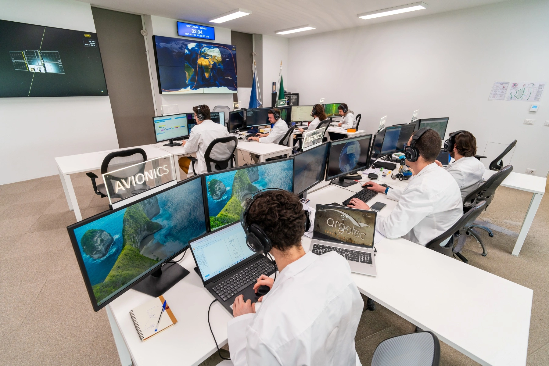
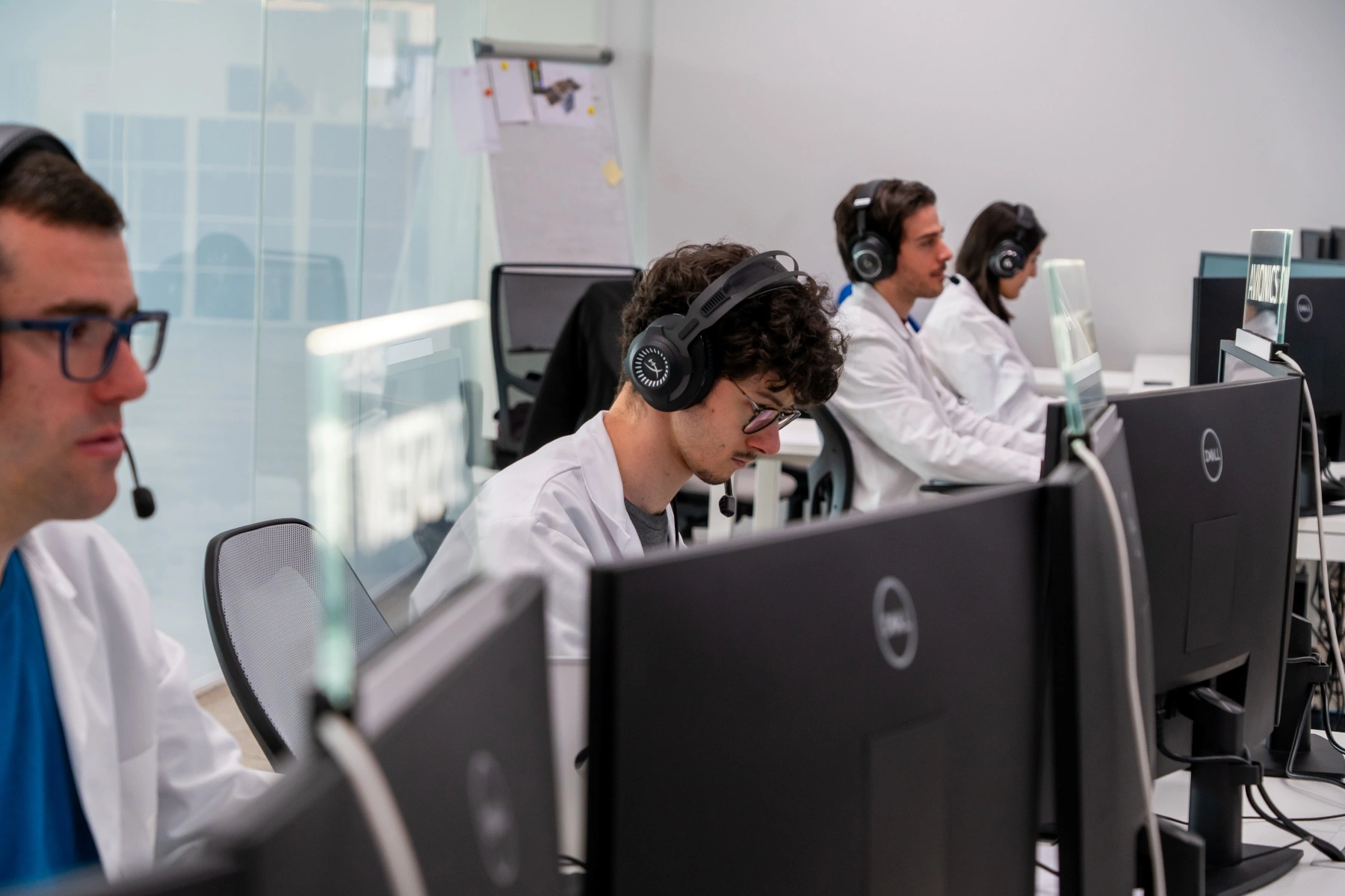
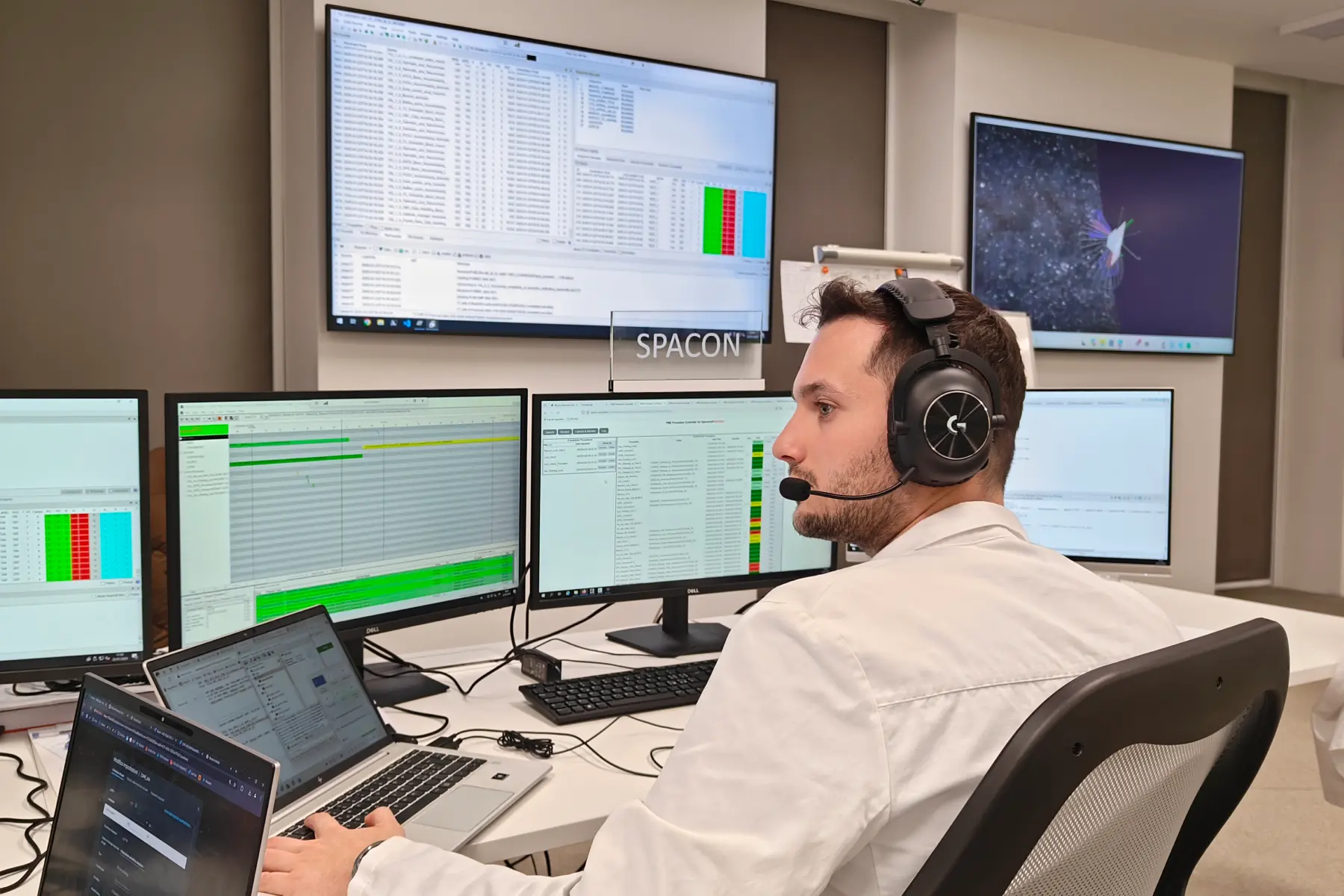
Center is the heart of flight operations for all missions carried out by the company.

Historic missions such as LICIACube, ArgoMoon, and HEO have been successfully operated from here.

The MCC ensures real-time monitoring and control of the spacecrafts. This facility integrates dedicated software tools for mission planning, anomaly detection and resolution, along with data analysis capabilities.
EXPERIENCE INNOVATION THAT KNOWS NO LIMITS WITH EAGLE, MPT, MARGOT AND HOWARD

EAGLE:

Event Acquisition
and Ground
Locator Equipment

EAGLE aids in planning satellite activities by defining orbits and identifying key events. It schedules satellite passes over Italy to capture detailed images and extends this capability globally. EAGLE also optimizes image download times by calculating when satellites can communicate with ground stations and predicts satellite coverage for applications in environmental monitoring, agriculture, and security.
The Mission Planning Tool (MPT) consolidates data from EAGLE into a web-based Gantt chart that visualizes and schedules satellite activities. It prevents overlaps, prioritizes critical tasks like safe mode and maneuvers, and optimizes mission efficiency. MPT also tracks battery consumption and data usage in real-time, ensuring effective resource management and mission success.

MPT:

Mission Planning Tool

MARGOT:

Web base telemetry
data visualization
analysis tool

Margot receives real-time telemetry from the satellites and other metadata (e.g. ground stations telemetries, telecommands data) and can also retrieve them in a later time. It allows flight operators to monitor the satellites health status and quickly respond to possible contingencies.
Designed to support satellite operations, Howard tracks satellites in real time, showing their orbital parameters (OEM) and groundtracks with high accuracy. The integration of visual and orbital data provides an intuitive overview of satellite behavior, making Howard a useful asset for mission monitoring, planning support, and ground segment operations.

HOWARD:

3D visualization tool that
displays the Earth in real
time, including dynamic
sunlight and the live position
of celestial bodies

Futura logoargomoon logoKopra logoLICIACube LogoVolare logobeyond logoheo logo

CERTIFICATIONS:

ISO/IEC 27001:2022

EN/AS/JISQ 9100:2016

ISO 9001:2015

Gender Equality
Management System
UNI/PdR 125:2022

IT AEOF 26 2205

kiwa Image
Accredia Image
Uni Image
IMQ Image
Uni Image